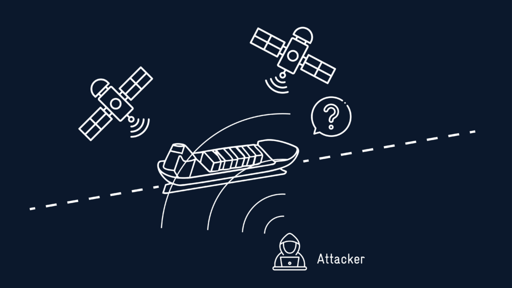
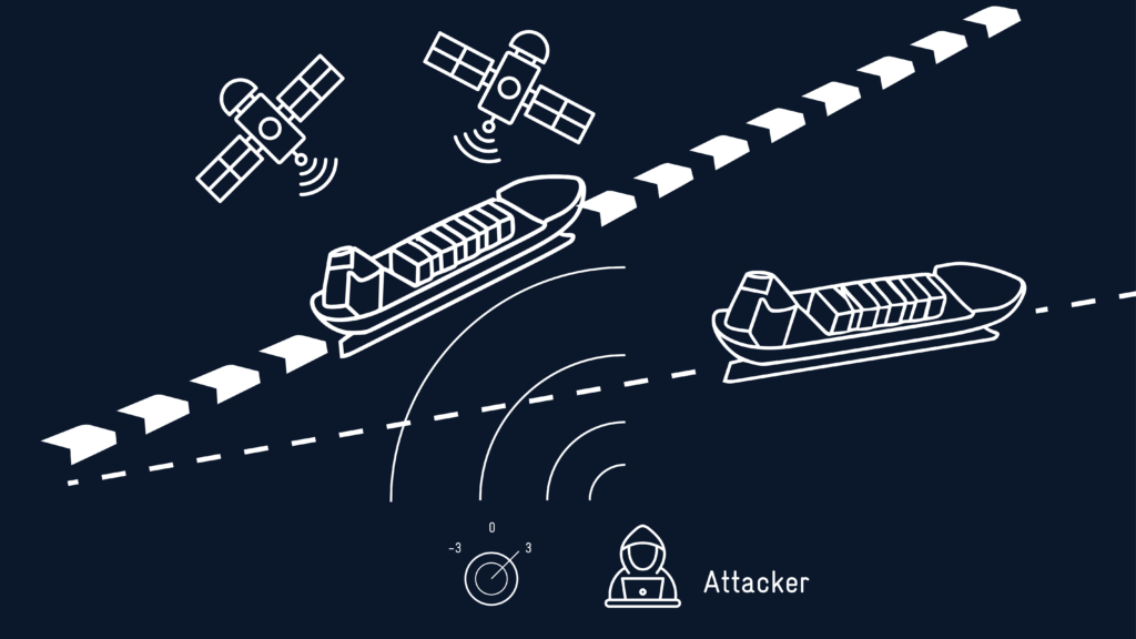
As GPS interference becomes a mainstream maritime threat, visibility—not just connectivity—will define the next era of safety at sea.
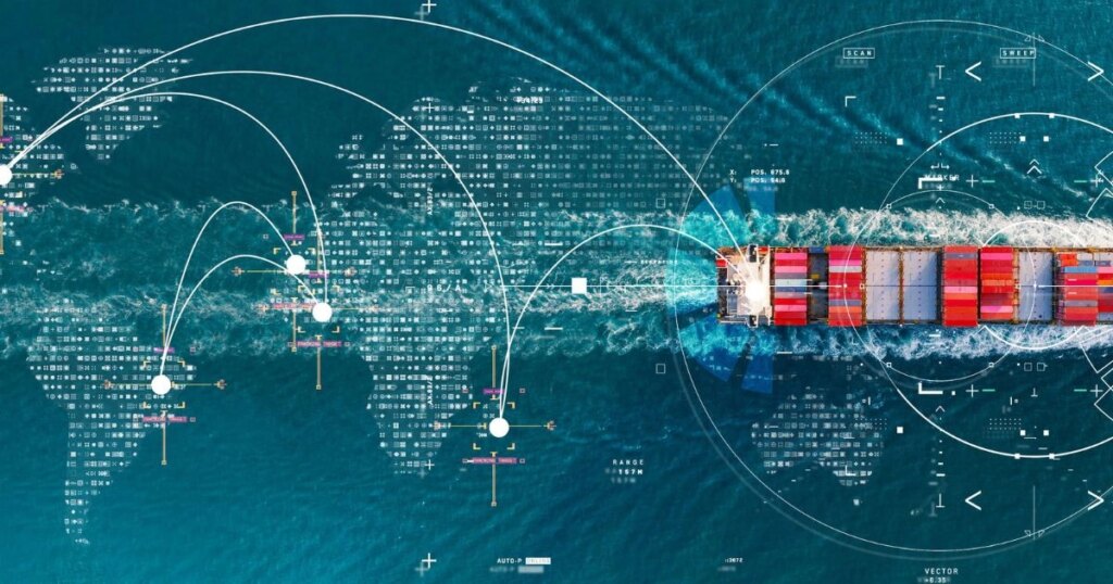
A strategic partnership between SEA.AI and Hefring Marine integrates AI-powered optical awareness with advanced ocean intelligence for enhanced maritime navigation and safety.
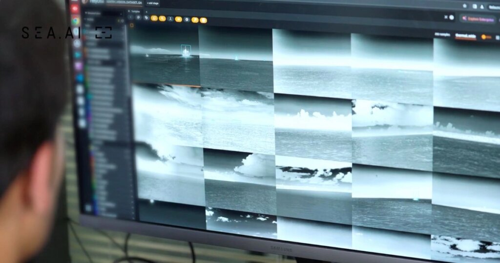
At SEA.AI, we build smarter maritime AI through real experience. Learn how our weekly sea trials turn ocean data into advanced vision systems.